

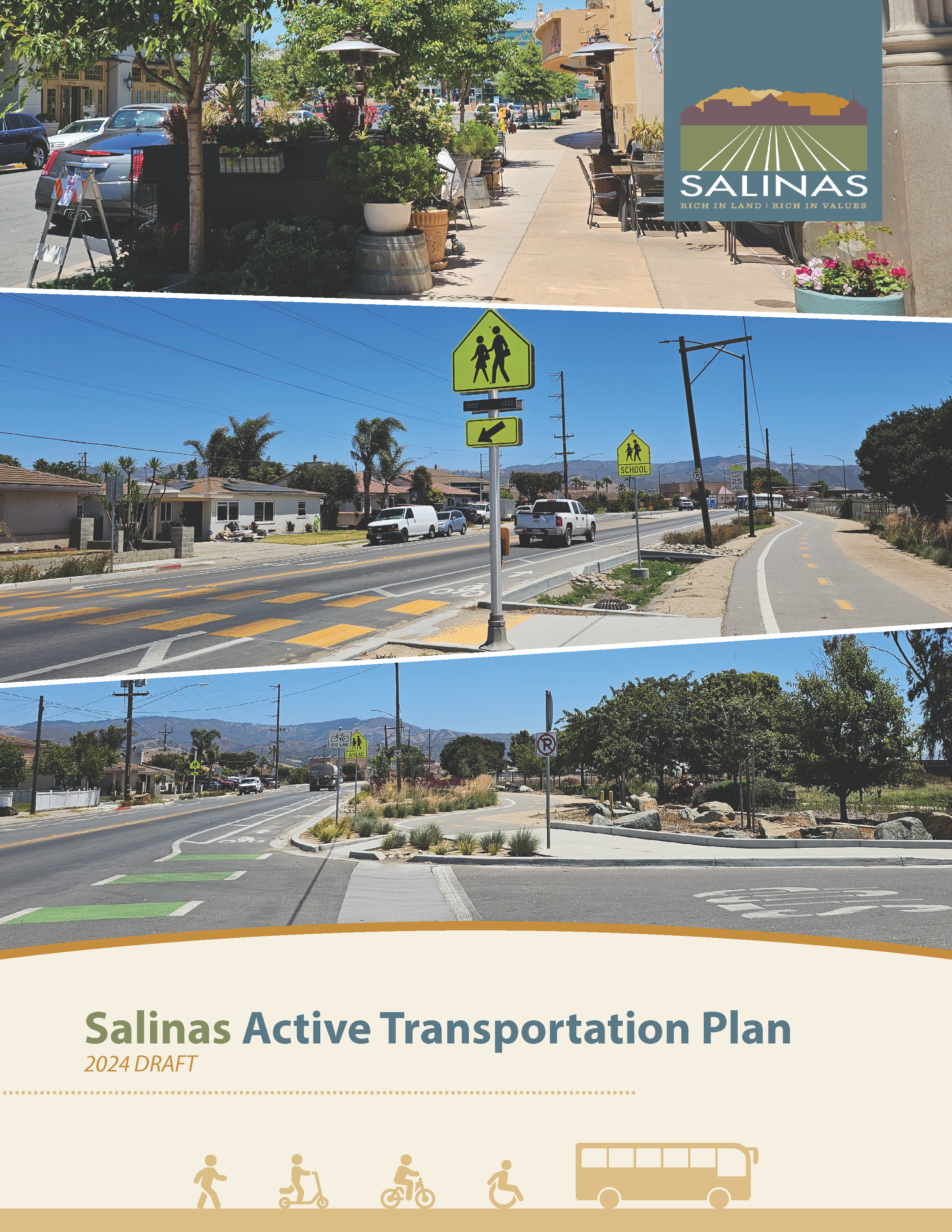
Safer Streets, Thriving Communities
We hear that traffic safety is a concern for many Salinas residents. The Active Transportation Plan is an opportunity to envision routes that are safer and more enjoyable for walking, biking, and driving. This means trails in your neighborhood for weekend bike rides, students traveling to school safely, and intersections that are easy to cross when you're walking.

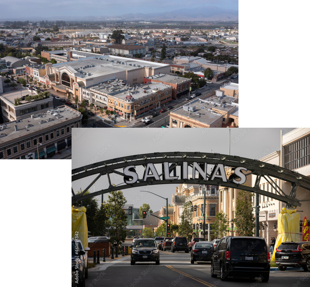
Salinas Active Transportation Plan 2024 Draft
Plan Preliminar de Transporte Activo de Salinas 2024
Review draft plan here or click the image.
Repase el plan preliminar aquí o haga clic en la imagen. Luego haga clic en el boton “Realizar Encuesta” localizado abajo para compartir su opinión acerca de este plan preliminar.
Ultimo dia para participar sera el Miercoles 14 de Agosto, 2024.
About This Plan
The City of Salinas Active Transportation Plan will update the 2002 Bikeways Plan and 2004 Pedestrian Plan and will provide a roadmap for future improvements for walking and bicycling in Salinas, including sidewalks, intersection improvements, bicycle facilities, and trails.
Public input is the foundation of the planning process and will be gathered through community outreach events, public meetings, and online comments. Following initial outreach in summer 2023, the planning team will develop a list of infrastructure and program recommendations to improve safety and encourage walking and bicycling. The City of Salinas has also recently developed a Safe Routes to Schools Plan for 45 Salinas schools, and recommendations from the Safe Routes to Schools Plan will be integrated into the Active Transportation Plan. The final plan is expected to be completed in spring 2024 and will be used to guide future investments and to help the City secure grant funding for project construction. This project is funded by a Sustainable Communities Transportation Planning Grant through Caltrans and SB1, as well as local matching funds.
Partnerships For Safer Streets
This project is funded by

Project Partners


Questions?
Connect with a program coordinator